AQUARIUS T

Tanker

FacebookLinkedInTwitterRedditVKPrint

Information related to the Tanker vessel AQUARIUS T (MMSI 538008978, IMO 9494668) from Marshall Islands with latest positions and portcalls.

MMSI538008978
IMO9494668
NameAQUARIUS T
Country Marshall Islands
MMSI TypeVessel
TypeTanker
Sub TypeHazardous category A
Call SignV7A4148
ClassA
Id5efd36ae383871203e714ab2
Course272.4
Speed (kn)0.1
Heading (°)274
PAC
ROT0
StatusAt anchor

First Seen4 years ago
Last Update25 minutes ago
Positions507
Latitude32.32474666666667
Longitude-117.12195833333334
Length (m)183
Width (m)32
ETANov 30, 2022 12:00 AM

Distance travelled (nm)

Since first seen185069.09
Since last port call0.49
Since last position0.08

Speed (kn) / Draught (m)


Draught (m)

Current7
Min7
Max7.7
Average7.35

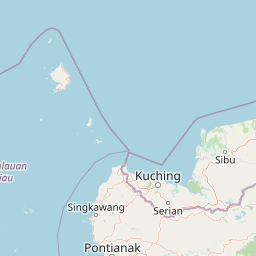
The Tanker vessel AQUARIUS T (mmsi 538008978) from country Marshall Islands is currently located at 32.324747 N -117.121958 W and the last position is sent 25 minutes ago. At the moment the vessel is At anchor heading 274 degree at speed 0.1 knots, and its current draught is 7 meters. The vessel is long 183 m and large 32 m, and it's estimated to be loaded at 0%.

Timeline

The following timeline will display the list of porcalls and other events regarding the ship including tracks.

  • {{'timeend' in e ? e.timeend + ' - ' : ''}} {{e.time}}

    Navigation ({{e.object.length}} positions)

    Sunken

    This vessel has sunken

     Arrival to {{e.object.port.name}}

     Departure from {{e.object.port.name}}

    Name changed

    This vessel has changed its name to {{e.object}}

    First seen

    This vessel has been detected for the first time by Oceanook